Historic Environment Record
The Historic Environment Record (HER) is a publicly accessible record of Greater Manchester’s diverse historic environment. Referred to previously as the Sites and Monuments Record, it contains information on all known archaeological sites, historic buildings, find-spots and historic landscapes across Greater Manchester’s ten districts, ranging from finds of flint tools left by our ancestors 10,000 years ago to Cold War sites of the late 20th century. The database currently has nearly 20,000 individual entries, together with approximately 54,000 records for the Historic Landscape Characterisation dataset and almost 100,000 photographic images.

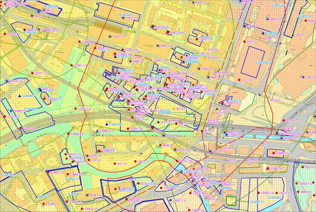
Computerised details include site type, period, description of known history and condition, and sources of further information. It is linked to a Geographical Information System (GIS) which can provide information from 19th-century Ordnance Survey maps. The HER is continually updated with new information provided by professional archaeologists, local archaeological societies, historians and researchers. GMAAS welcomes contributions that would add to the record, and you can submit information by email at gmaas@salford.ac.uk providing as much detail as possible about the site.
A key role of the HER, as set out in the National Planning Policy Framework, is to advise developers and their agents on the location and character of known heritage assets and potential archaeological remains within a proposal area when preparing a planning application for a development. In addition to development-related enquiries, information from the HER is also used to provide input into individual Historic Environment Farm Environment Records (HEFERs) for Countryside Stewardship scheme applications. The HER is also a valuable source of information for anyone interested in the archaeology and history of Greater Manchester.
Our records are consulted regularly by developers, members of the public, students, researchers, and a wide variety of archaeological organisations. Sources of information available within the HER include:
- Records of all designated heritage assets in Greater Manchester, such as Scheduled Monuments, Listed Buildings, Registered Parks & Gardens, Battlefields and Conservation Areas);
- Records of non-designated heritage assets and sites of archaeological interest;
- ‘Grey literature’ reports of archaeological fieldwork and historic building surveys conducted in Greater Manchester;
- Historic mapping of the area;
- Aerial photography of archaeological sites and historic buildings;
- Extensive archaeological reference library.
The HER is available to search online at HeritageGateway but for any enquiries please contact Lesley Dunkley, the Greater Manchester Historic Environment Officer, on 0161 295 6910 or l.dunkley@salford.ac.uk
Data from a commissioned search of the HER will be supplied either as GIS datasets (ESRI shapefiles) or a printed map (PDF), plus a full report on monuments and events (PDF). Data includes Scheduled Monuments, Registered Parks and Gardens, Listed Buildings, non-designated sites in the Greater Manchester HER. Digital copies of associated grey literature reports may also be provided, although it is recommended that all researchers visit the HER in person as GMAAS holds an extensive archive of un-digitised information.
Information supplied from the HER in response to requests for commercial use of data will be subject to a small administration fee. The fees are calculated using a Scale of Charges that are provided at https://shop.salford.ac.uk/product-catalogue/university-goods-and-services/gmaas
Where possible, GMAAS will try and provide data for non-commercial use free of charge.